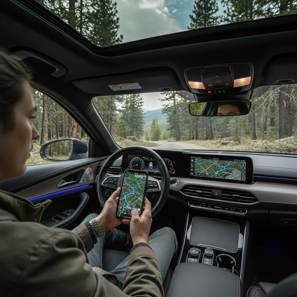
Kawerau is centrally located in New Zealand’s Bay of Plenty, easily accessible via State Highway 34. The town sits approximately 55 minutes east of Rotorua and 80 minutes southeast of Tauranga. When driving to Kawerau, utilizing a digital map or GPS is recommended for navigating the scenic logging routes and accessing key entry points like Maurice Allvey Drive.
Introduction to Kawerau Travel
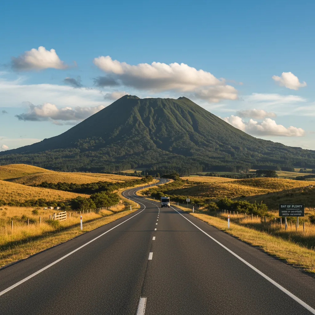
Nestled at the foot of the majestic Putauaki (Mt Edgecumbe), Kawerau is often referred to as the heart of the Bay of Plenty. While it is famous for its industrial heritage, particularly in forestry and paper milling, it has rapidly evolved into a destination for adventure tourism, hot springs enthusiasts, and those seeking a gateway to the Tarawera Falls.
Getting to Kawerau is a visual treat, regardless of which direction you approach from. The roads leading into the district are flanked by lush farmland, dense pine forests, and sparkling lakes. However, for first-time visitors, understanding the specific routes and having a reliable driving to Kawerau map strategy is essential. The town is slightly off the main coastal highway (State Highway 2), requiring a short detour inland via State Highway 34. This guide provides comprehensive directions, travel times, and logistical advice to ensure your journey is smooth and safe.
Driving from Auckland to Kawerau
For international visitors or domestic travelers starting from New Zealand’s largest city, the drive to Kawerau is a significant but enjoyable road trip. It serves as an excellent introduction to the diverse landscapes of the North Island.
The Route Options
The journey typically takes between 3.5 to 4 hours, covering approximately 280 kilometers (174 miles), depending on traffic and the route chosen. There are two primary ways to exit Auckland and head south:
- State Highway 1 to State Highway 27 (The Matamata Route): This is the most popular route. You will travel south over the Bombay Hills, turning off onto SH2 and then SH27. This route takes you through the Hauraki Plains and passes through Matamata (home of Hobbiton). From there, you cross the Kaimai Ranges via SH29, eventually connecting to the routes leading to the Eastern Bay of Plenty.
- State Highway 1 to Rotorua via Hamilton: Alternatively, you can stay on SH1 through the Waikato Expressway to Tirau, then head towards Rotorua on SH5. From Rotorua, you take SH30 directly to Kawerau. This is often smoother if you prefer expressways for the first leg of the trip.
Key Stopovers
To break up the drive, consider stopping in Tirau. Known as the “Corrugated Iron Capital of the World,” it offers excellent cafes and public toilets. If you take the SH27 route, a stop at the Kaimai Summit offers breathtaking views of the Bay of Plenty region before you descend towards the coast.
The Route from Tauranga
Tauranga is the main coastal hub of the region and a common starting point for day-trippers heading to Kawerau. The drive is relatively short, making Kawerau an accessible destination for business or leisure.
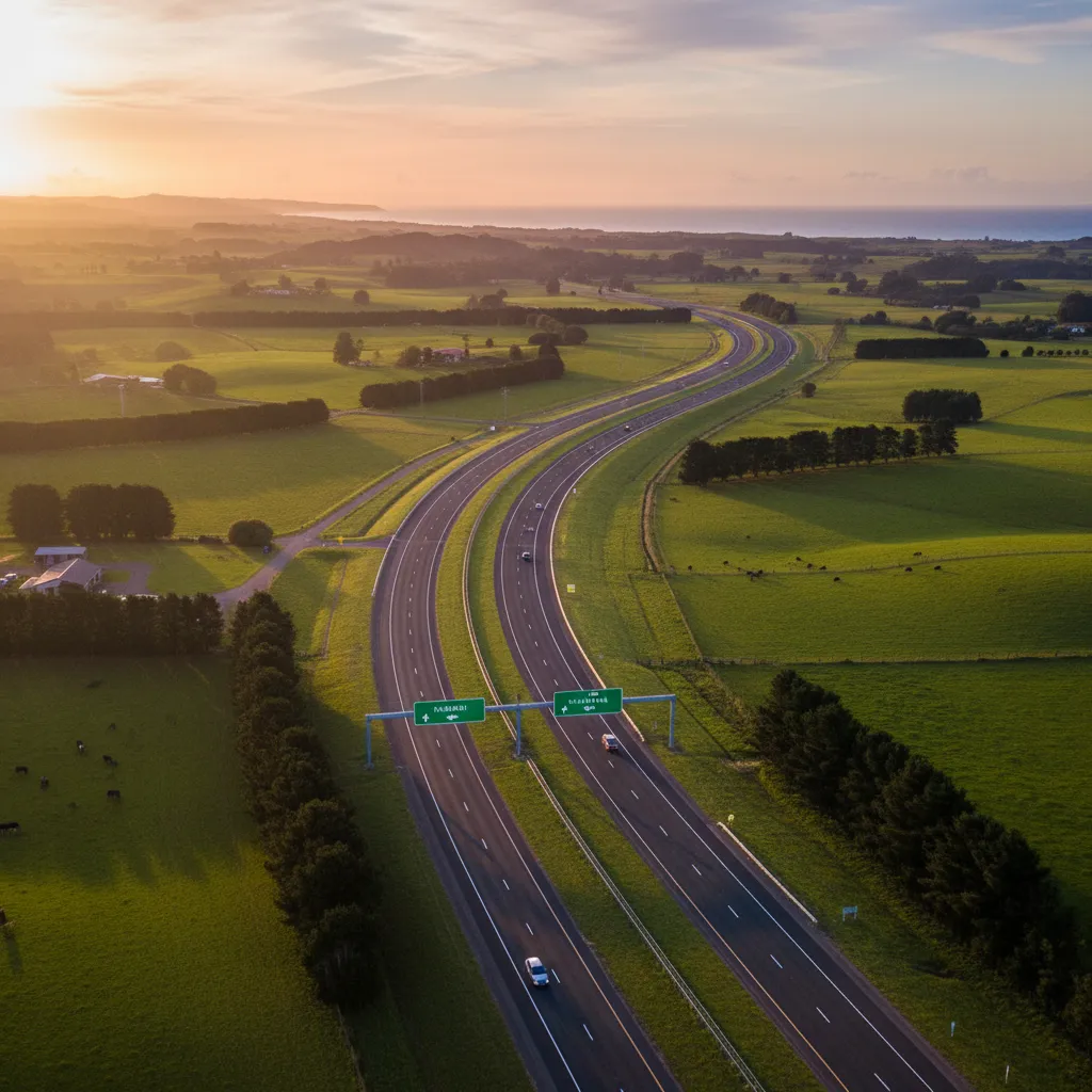
Using the Tauranga Eastern Link (TEL)
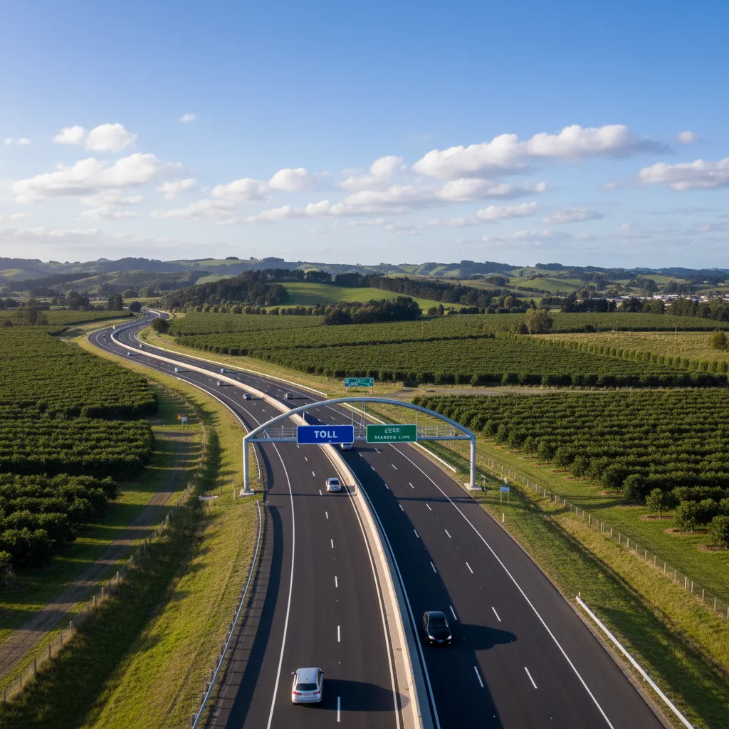
The most efficient way to travel is via the Tauranga Eastern Link (SH2), which is a toll road. This expressway bypasses the congestion of Te Puke town center and significantly reduces travel time.
- Distance: Approximately 85km.
- Time: 1 hour to 1 hour 15 minutes.
- Route: Head south on the TEL towards Whakatāne. At the Paengaroa roundabout, continue on SH33 or SH2 towards Matatā.
If you prefer a scenic coastal drive, stay on SH2 past Matatā. You will drive along a stunning stretch of coastline where the road hugs the beach, offering views of White Island (Whakaari) on a clear day. Turn right onto State Highway 34 near Matatā to head inland towards Kawerau.
Traveling from Rotorua
Rotorua is the closest major tourism hub to Kawerau. The drive between these two locations is arguably one of the most beautiful short drives in the North Island, passing a chain of stunning lakes.
The Lakes Route (SH30)
To get to Kawerau from Rotorua, you will take State Highway 30 (Te Ngae Road) heading East. The journey takes roughly 50 to 60 minutes.
Highlights along the way:
- Tikitere (Hell’s Gate): You will pass this famous geothermal park shortly after leaving Rotorua.
- Lake Rotoiti & Lake Rotoehu: The road winds along the southern edge of these lakes. There are several pull-over bays where you can take photos of the native bush reflecting in the water.
- Lake Rotoma: The final lake before the descent is Rotoma, known for its crystal-clear water. Just past the lake, you will find the famous “Soda Springs,” a popular local swimming spot.
After passing Lake Rotoma, the road descends through the Rotoma hills. You will eventually reach a junction where you turn right onto State Highway 34, which leads directly into the township of Kawerau.
Understanding the Driving to Kawerau Map
When searching for a “driving to Kawerau map,” it is important to understand the layout of the town relative to the highways. Kawerau is a planned town, designed specifically to support the Tasman Pulp and Paper Mill in the 1950s. Consequently, the road layout is distinct, featuring wide avenues and a “cul-de-sac” design where the town is tucked away from the main highway traffic.
Digital vs. Physical Maps
While Google Maps and Apple Maps are highly reliable for getting to Kawerau, they can sometimes be confusing when navigating the industrial zones versus the residential areas. The town has two main entry points off SH34:
- Tamarangi Drive: This is the main entrance into the town center, shopping district, and the i-SITE Visitor Information Centre.
- Fenton Mill Road: This entry provides quicker access to the southern residential areas and the Tarawera River access points.
Pro Tip: Mobile signal is generally excellent (4G/5G) throughout the journey from Rotorua and Tauranga, so relying on live GPS is safe. However, if you plan to continue past Kawerau to the Tarawera Falls, you must download offline maps, as cellular service drops completely in the forest roads.
Navigating Maurice Allvey Drive
For those visiting for business, particularly related to the industrial mill, or attending events at the Firmin Lodge, you will likely need to locate Maurice Allvey Drive. This is a critical arterial route that is often searched for in conjunction with Kawerau maps.
Maurice Allvey Drive connects the residential zone with the industrial sector. It runs adjacent to the Tarawera River, offering a scenic backdrop to an industrial area. If you are looking for the free hot pools (Kawerau Free Thermal Pool), you will find them near the intersection of the town center, but Maurice Allvey Drive is the key connector if you are heading toward the Waterhouse Street industrial park.
Logistics for Heavy Vehicles: If you are driving a campervan or towing a boat, Maurice Allvey Drive is wide and easy to navigate. It avoids some of the tighter residential streets, making it a preferred route for larger vehicles traversing the town.
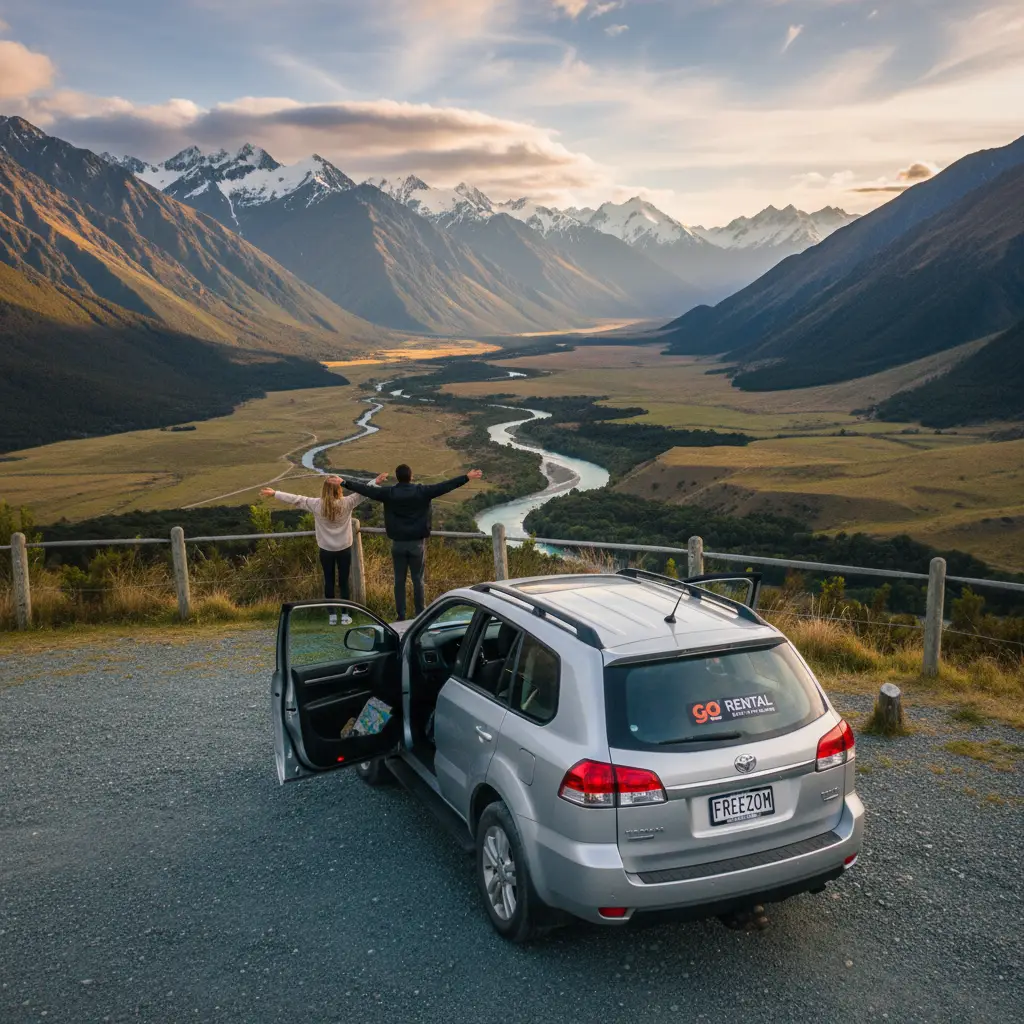
Nearest Airports and Rental Car Advice
Kawerau does not have its own commercial airport. Visitors flying in must choose between two regional airports, both of which offer rental car facilities.
Whakatāne Airport (WHK)
Distance to Kawerau: 33km (approx. 25 minutes).
Whakatāne Airport is the closest airport to Kawerau. It is a small regional hub with daily flights to and from Auckland via Air Chathams. This is the most convenient option if your primary destination is the Eastern Bay of Plenty.
- Rental Cars: Major providers like Hertz, Avis, and local operators are available at the terminal. It is highly recommended to book these in advance as fleets are smaller here than in major cities.
Rotorua Regional Airport (ROT)
Distance to Kawerau: 55km (approx. 45-50 minutes).
Rotorua Airport is larger and accepts flights from Auckland, Wellington, and Christchurch (via Air New Zealand). If you are traveling from the South Island, this is your best entry point.
- Rental Cars: Rotorua has a full suite of rental agencies. Prices may be more competitive here due to higher competition.
Critical Road Safety Tips for the Bay of Plenty
Driving to Kawerau is generally safe, but the region has specific characteristics that drivers—especially those new to New Zealand—must be aware of.
1. Logging Trucks
Kawerau is a forestry town. The roads leading to it (SH30 and SH34) are heavily utilized by large logging trucks. These vehicles are long and heavy.
- Patience is Key: Do not attempt to overtake a logging truck unless there is a clear passing lane or a long stretch of straight road with excellent visibility.
- Following Distance: Keep a safe distance back. Bark or debris can occasionally dislodge from trucks, so you do not want to be too close.
2. Sunstrike
If you are driving from Rotorua to Kawerau (East) in the early morning, or from Kawerau to Rotorua (West) in the late afternoon, sunstrike can be blinding. The road is winding and often shaded by trees, creating a strobe effect with the low sun. Always wear sunglasses and use your visor.
3. Rural Roads
Once you leave the state highways to explore areas like the Tarawera Forest, the roads may become unsealed (gravel). Reduce your speed significantly on gravel to avoid skidding and to prevent stone chips from damaging your rental vehicle.
Frequently Asked Questions
How far is Kawerau from Whakatāne?
Kawerau is approximately 33 kilometers from Whakatāne. The drive typically takes between 25 to 30 minutes via State Highway 30 and State Highway 34. It is an easy, flat drive through rural farmland.
Is there public transport to Kawerau?
Public transport options are limited compared to major cities. However, the Baybus regional service operates Route 135 connecting Whakatāne and Kawerau. InterCity buses also have stops in the region, though you may need to transfer. A rental car is strongly advised for flexibility.
Do I need a 4WD to drive to Kawerau?
No, you do not need a 4WD to get to the Kawerau township. The main access roads (SH34) are fully sealed and well-maintained state highways suitable for all vehicle types. A 4WD is only necessary if you plan to go deep into the private forestry roads for hunting or off-roading.
What is the best time of day to drive to Kawerau?
Mid-morning (around 10:00 AM) is often the best time to drive. This allows you to miss the early morning commuter traffic and logging trucks starting their shifts, and ensures you avoid the morning sunstrike if traveling from the west.
Are there electric vehicle (EV) chargers in Kawerau?
Yes, Kawerau is EV-friendly. There are charging stations available in the town center, typically near the New World supermarket or the i-SITE information center. Check apps like PlugShare for real-time availability and specific connector types.
Can I access Tarawera Falls from Kawerau?
Yes, Kawerau is the gateway to Tarawera Falls. However, the road to the falls is a private forestry road. You must obtain a permit (available from the Kawerau i-SITE) before entering the forest. The drive from the town to the falls car park takes about 20-25 minutes on unsealed roads.